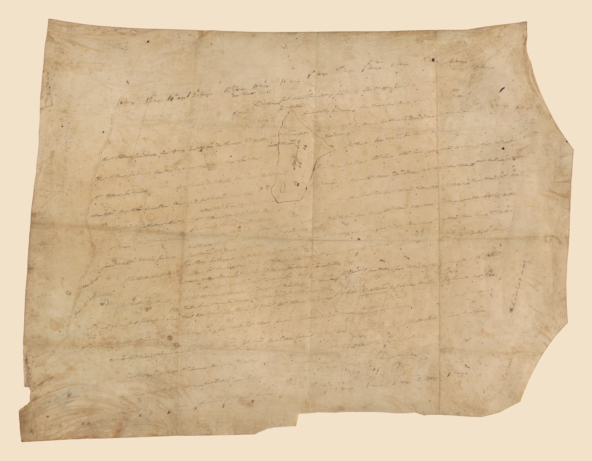
Proprietors Chart & Royal Charter
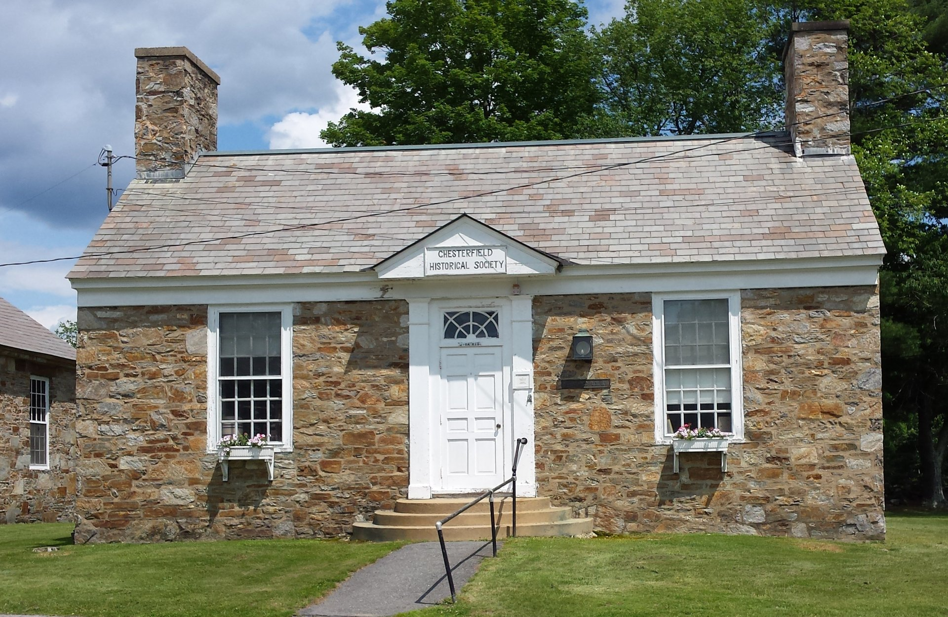
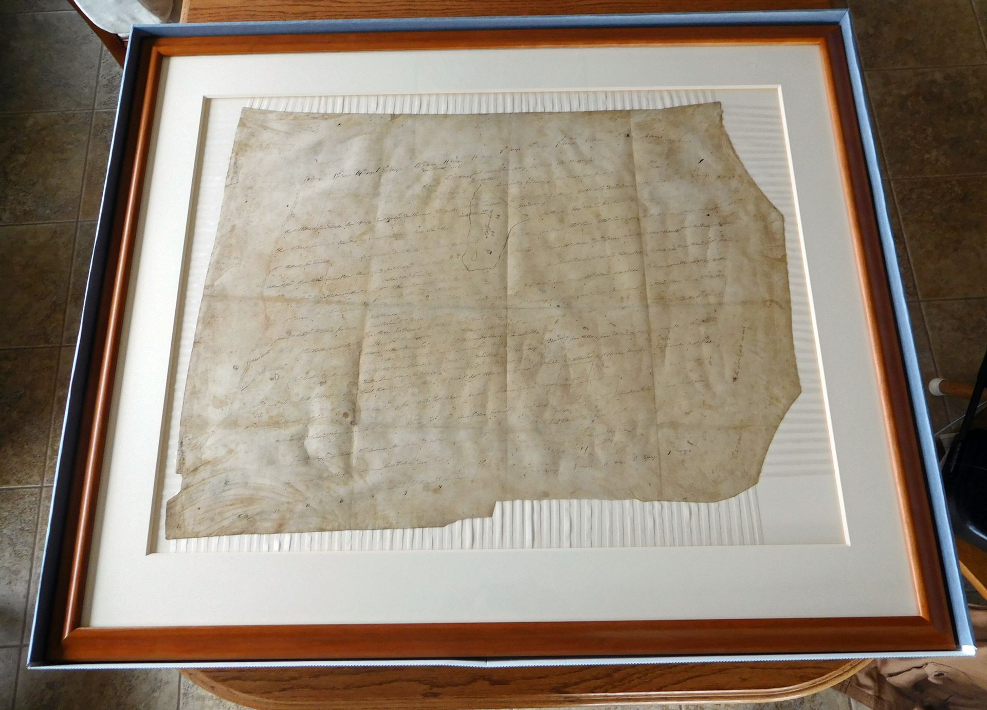
After a lengthy restoration process, the c1760 Proprietors Chart is back in Chesterfield. Found in a forgotten trunk during the demolition of the Old Town Garage, it was a small packet folded into uneven sixteenths. This resulted in the animal skin parchment being strongly creased. Over its approximate 263 years, it underwent several repairs and was eventually framed to allow it to lie flat. However, many of the repairs were failing and the surface was embedded with dirt and grime. CHS recognized it as an irreplaceable and unique piece of Chesterfield history and went to great lengths to have it restored. The Northeast Document Conservation Center in Andover, MA worked on it for six months, cleaning, mending, and applying humidity treatments to straighten it, which increased its size by 8”. Also, it was digitized so the deteriorating oak gall writing could be deciphered easier. It is now encased in a museum quality mounting, framed, and specially boxed.
Chesterfield's Royal Charter
How it all Started
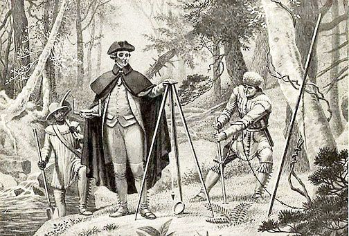
On Feb. 11, 1752*, King George II granted the settlement of a New Plantation, called Chesterfield, in the Province of New Hampshire. The document described the 23,040-acre location and required it to be divided up into seventy equal shares. Out of the total acreage, 1,040 acres would have allowances for highways and unimprovable lands. This would be determined by a survey plan to be ordered by the Governor.
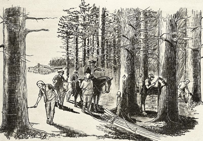
The conditions that must be met by the grantees was clearly defined. He or his heirs or assignees must plant and cultivate five acres of land within five years for every 50 acres of land owned. He must continue to improve his property or forfeit it to the town. It would then revert back to the Crown for re-granting. All white pine or other pine trees that fall under the Parliamentary Board Arrow Laws must be preserved.
The Charter went on to specify the division of the land. The land "deemed in the center of the township would be divided up into one acre town lots". Each grantee would receive one of these lots. For ten years, the rent to the Crown would be one ear of Indian Corn, due on the 1st of January. After the 10th year, every proprietor, settler, or inhabitant had to pay one shilling for every 100 acres of land they owned to the Council Chamber in Portsmouth or its appointed officer.
The Charter also specified that as soon as 50 families were residing in the town, they could hold two fairs and have a market. Town Officials would be chosen on the first Wednesday in March. The moderator duty was assigned to Josiah Willard, Esq. Thereafter, officers would be chosen at a town meeting held annually on the first Wednesday of March.
The required Governor's ordered survey plan of Chesterfield, was completed on March 18, 1752* However, hostilities between France and England made it impossible for the grantees to fulfill the provisions of the Charter within the 5-year requirement. When it was finally safe to establish homesteads, the grantees petitioned the Governor and Council for an extension. On June 11, 1760, the Charter was lengthened by one year to be renewed annually. There are no records of the meetings held by the proprietors or grantees. All that remains are the results of their work drawn on the Proprietors' Chart by an unknown hand. Based on the issue dates of the deeds, the chart was probably made as early as 1760 or 61. The chart outlines each lot and the name of the proprietor or grantee who acquired it. A "share" was 300 acres and a town lot. Most proprietors were veterans of the French and Indian Wars and their families. Special allotments were made for the clergy and the Church of England, and, of course Gov. Benning Wentworth claimed 500 acres for speculation.
*Thanks to the Earl of Chesterfield, the British calendar was going through a major transition from Julian to Georgian in 1751-1752. Therefore, these dates could be either the Old Style or New Style.New Paragraph
Surveyor picture is from www.georgianinfo.galileo.usg.edu

