The 1936 Flood
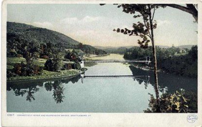
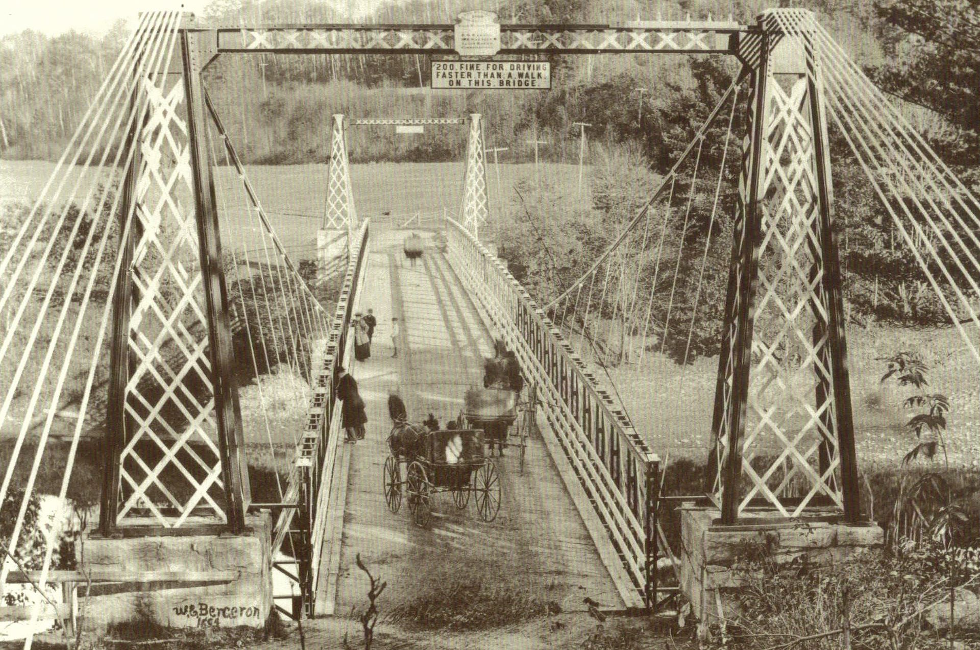
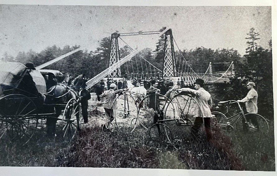
For many years, the only access to Brattleboro was via a ferry one mile upstream of the present Route 9 Bridge. In 1889, a suspension bridge was constructed in a nearby location. It consisted of one span 320’ long with a roadway 16’ wide. It stood for 46 years until Mother Nature came knocking.
The winter of 1935 – 1936 was extremely cold with numerous heavy snowfalls. In March 1936, a warm front stalled over eastern New England prompting the U.S. Weather Service to issue a warning about the possibility of severe flooding from the combination of ice, melting snow, and heavy rains. On March 11th, it had rained for three days, dumping 5” over the area with the runoff cascading into the still frozen Connecticut River.
Within a couple of days, the river started to swell, breaking up the ice and creating ice jams. On March 14th, a five-mile-long ice jam formed behind the Vernon Dam. Fearing the dam would break, and wipe out the Pioneer Valley towns below, attempts to dynamite the ice jam were made. All were unsuccessful. At one point, the power company even made plans to bring in airplanes to bomb it.
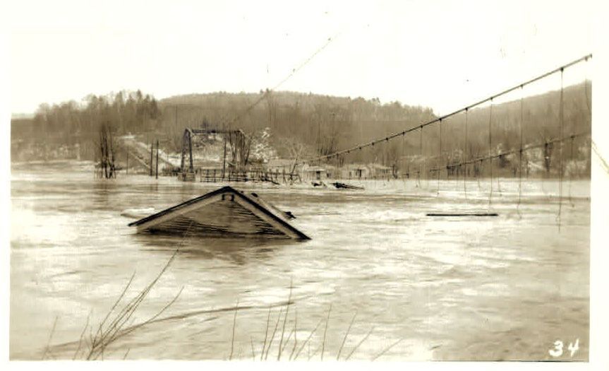
Meanwhile the water backup at the Bellows Falls Dam had flooded all of Springfield, VT. Releasing more water would have caused catastrophic damage to the already flooded Brattleboro, so the power company refused to open its gates. On March 16th, rain began again and continued for two more days. The road on the island between Hinsdale and Brattleboro disappeared. Only a few treetops noted its location. Finally on March 19th, the Chesterfield's 1889 suspension bridge lost its battle with the river.
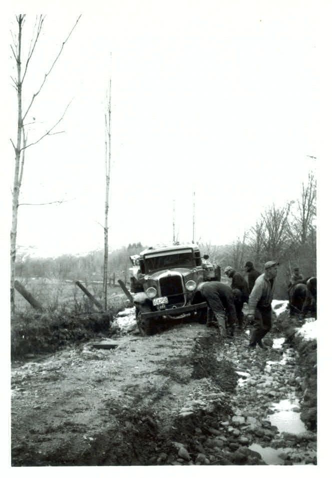
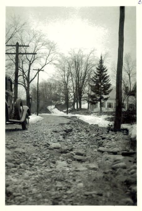
The damage of that wet spring was not confined to the river valley; havoc occurred throughout the region. Chesterfield had numerous road washouts. One account in the CHS archives noted that the electricity was out for three weeks.
In 1937, the Navy Seabees built the old bridge's replacement, a two-hinged, arched steel bridge. Its design won the American Institute of Steel Construction 1937 award for the “Most Beautiful Steel Bridge” in Class C. In 2003, a bridge of similar construction was built next to the 1937 bridge. It was designed to carry heavier loads; it has a wider deck and more road clearance. The older bridge became a pedestrian bridge and was renamed “The Harlan Fiske Stone Bridge” after Chesterfield born US Supreme Court Chief Justice Stone.
During the construction of both steel bridges, several attempts were made to locate the remains of the old suspension bridge. However, it wasn’t until July 2012 that two Brattleboro Firefighter divers, Robert Cornieller and Matt Hubbard discovered its location. Only about 40 yards from the Riverside Hotel dock in 15 feet of water, they found the towers lying horizontally. Just a little further downstream, was the deck with its steel rods and wooden pillars still connected.
According to the National Weather Service in Gray, ME (which covers NH and the CT River), the 1936 Flood is still the historic high for the Connecticut River. The river reached an astounding 43.5 feet. The second highest was during the hurricane of 1938, when it reached 39.1 feet. During Tropical Storm Irene in 2011, it only reached 31.3 feet. To put it into perspective, this the Bellows Falls Bridge during Irene.
The direct result of the 1936 floods, which not only effected New England but also the Midwest, was the The Flood Control Act of 1936. This legislation appropriated significant Federal investment in flood protection, funding the construction of levees, dams, reservoirs, and other methods of mitigating or preventing floods.

